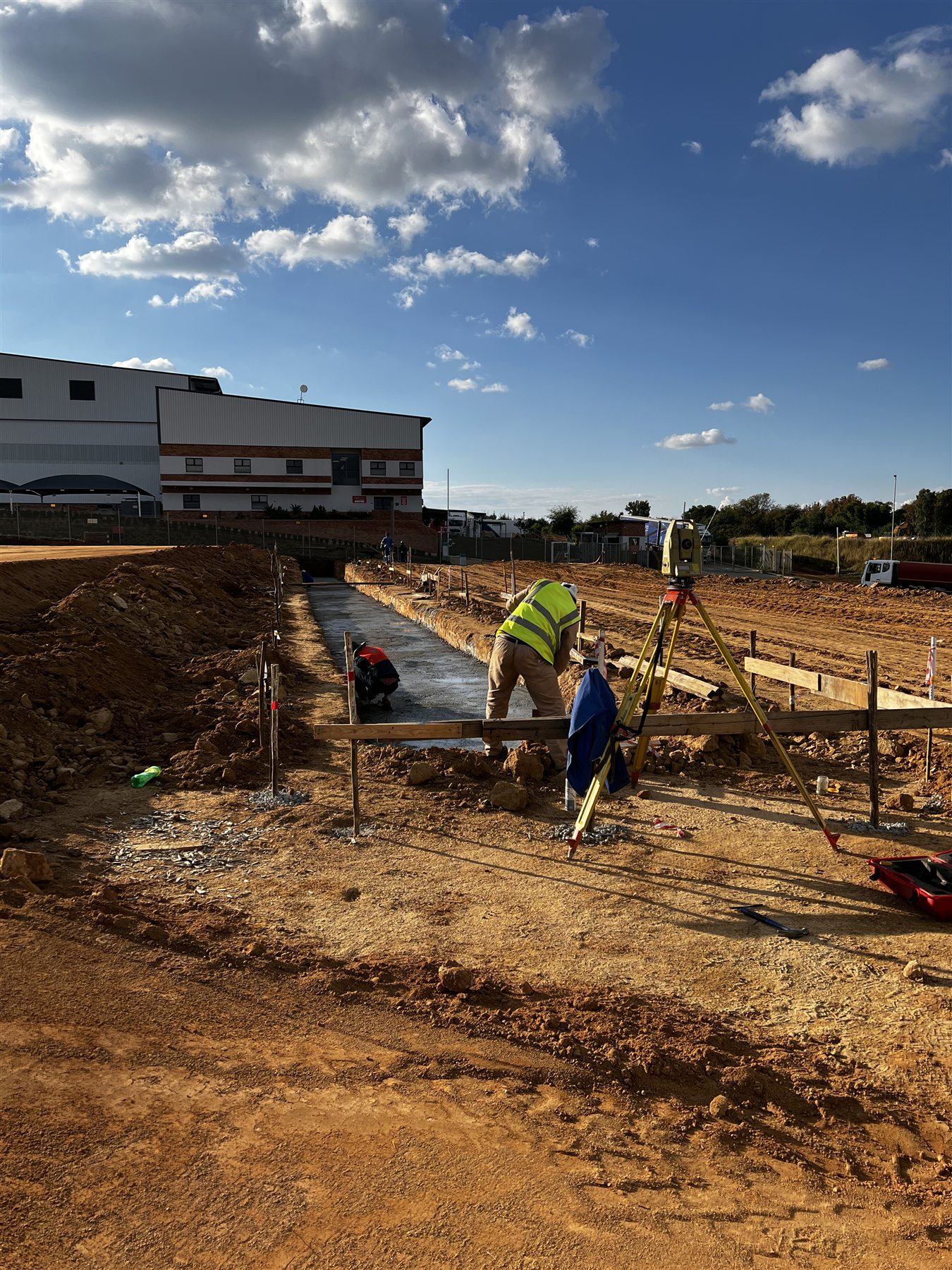
Construction set-out transfers design positions and levels from approved project information onto the actual site, giving the crew practical references to build from.
If the drawing is unclear, we ask. We do not improvise with concrete.
CONSTRUCTION SET-OUT // IN THE FIELDControl carried from the drawing to the ground
When you need it
Before construction begins, and again whenever accurate positions or elevations must be transferred from the design to the ground.
Building grids and foundations
Columns, walls and structural positions
Roads, kerbs and platforms
Drainage and service routes
Earthworks limits and levels
Ongoing construction control
What we establish
The exact scope depends on the drawings and the construction sequence. Set-out may include coordinates, centre lines, offsets, reference pegs, benchmarks and required elevations.
Points are placed in a form that suits the site and the work being built—not simply because they appeared convenient on a drawing.
What you receive
Set-out points marked on site
Agreed position and level references
Coordinate or point information where required
Clear identification of the set-out completed
Queries raised where information conflicts
Verification checks when included in scope
What we need
Send the latest approved drawings, coordinate information, datum or benchmark details, site location, required construction dates and a plain explanation of what must be set out.
Do not send a screenshot and expect survey control to emerge from it.
Project spotlight
ROADWORKS // CONSTRUCTION CONTROL
REAL FIELDWORK // CONTROL FIRST
CHECK THE CONTROL FIRST. THEN BUILD.
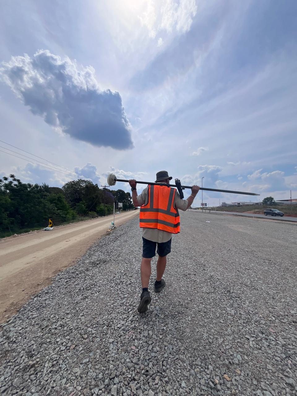
The photographs show survey control being carried through an active roadworks environment—not performed once and forgotten. GNSS observations and working references moved with the job so positions could be checked as the formation progressed.
If the reference is wrong, everything set out from it is wrong faster.
PROJECT TYPE
Roadworks
WORK SHOWN
GNSS control and field set-out
PRINCIPLE
Check first. Then build.
CONTROL CHECK // ON THE FORMATIONFIELDWORK // MOVING WITH THE JOB