A topographical survey records ground levels, terrain and the visible features needed to understand, plan or design for a site.
A clean drawing cannot rescue bad field data.
TOPOGRAPHICAL SURVEY // IN THE FIELDTerrain and site conditions measured as they stand
When you need it
Before architectural, civil or infrastructure design begins, or whenever the project team needs a current measured record of the site.
Site development and planning
Road and drainage design
Earthworks planning
Existing-building additions
Farm and agricultural planning
General site documentation
What we measure
The agreed survey may include ground levels, contours, buildings, roads, kerbs, walls, drainage structures, fences and other visible detail relevant to the project.
Subsurface services are not assumed from surface appearances. Any specialist detection or records required must be agreed separately.
What you receive
Measured site and terrain information
Levels and contours where required
Visible feature detail within scope
CAD drawing or agreed digital format
Coordinate information where required
Surface data when included in scope
What we need
Send the site location or boundary information, the intended use of the survey, the features that matter to the design team, required output format and the programme.
“Survey everything” is not a scope. Tell us what the information must help you decide or design.
Project spotlight
TOPOGRAPHICAL SURVEY // ESTABLISHED CONTROL
REAL FIELDWORK // CONTROL NETWORK
START FROM A POINT YOU CAN TRUST.
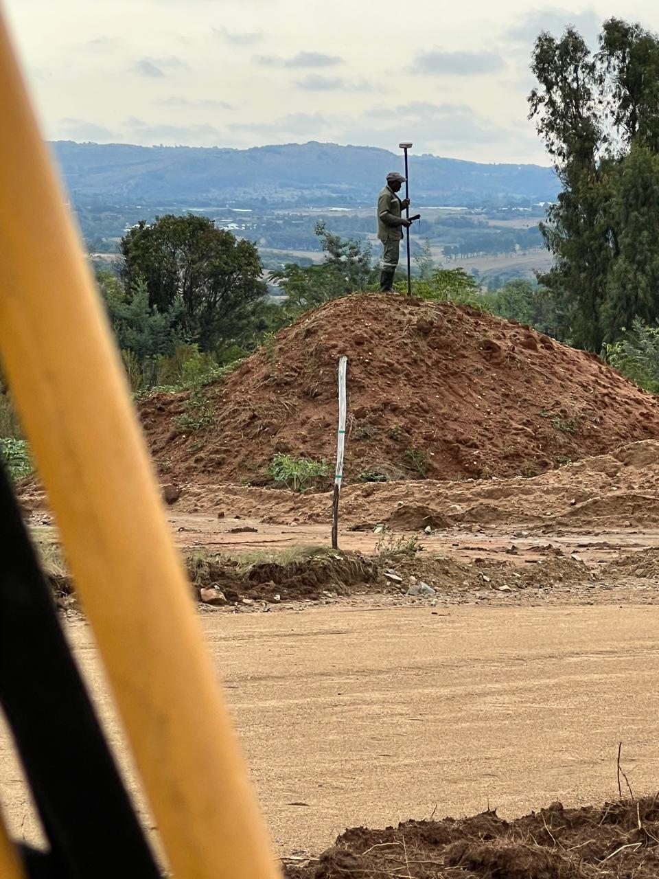
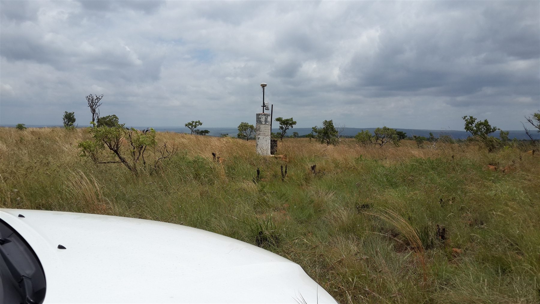
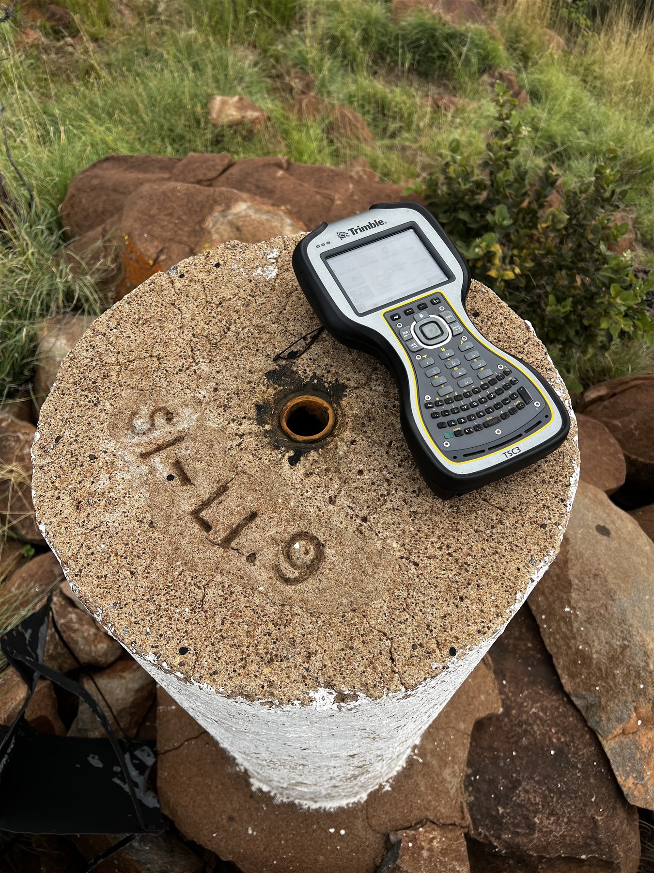
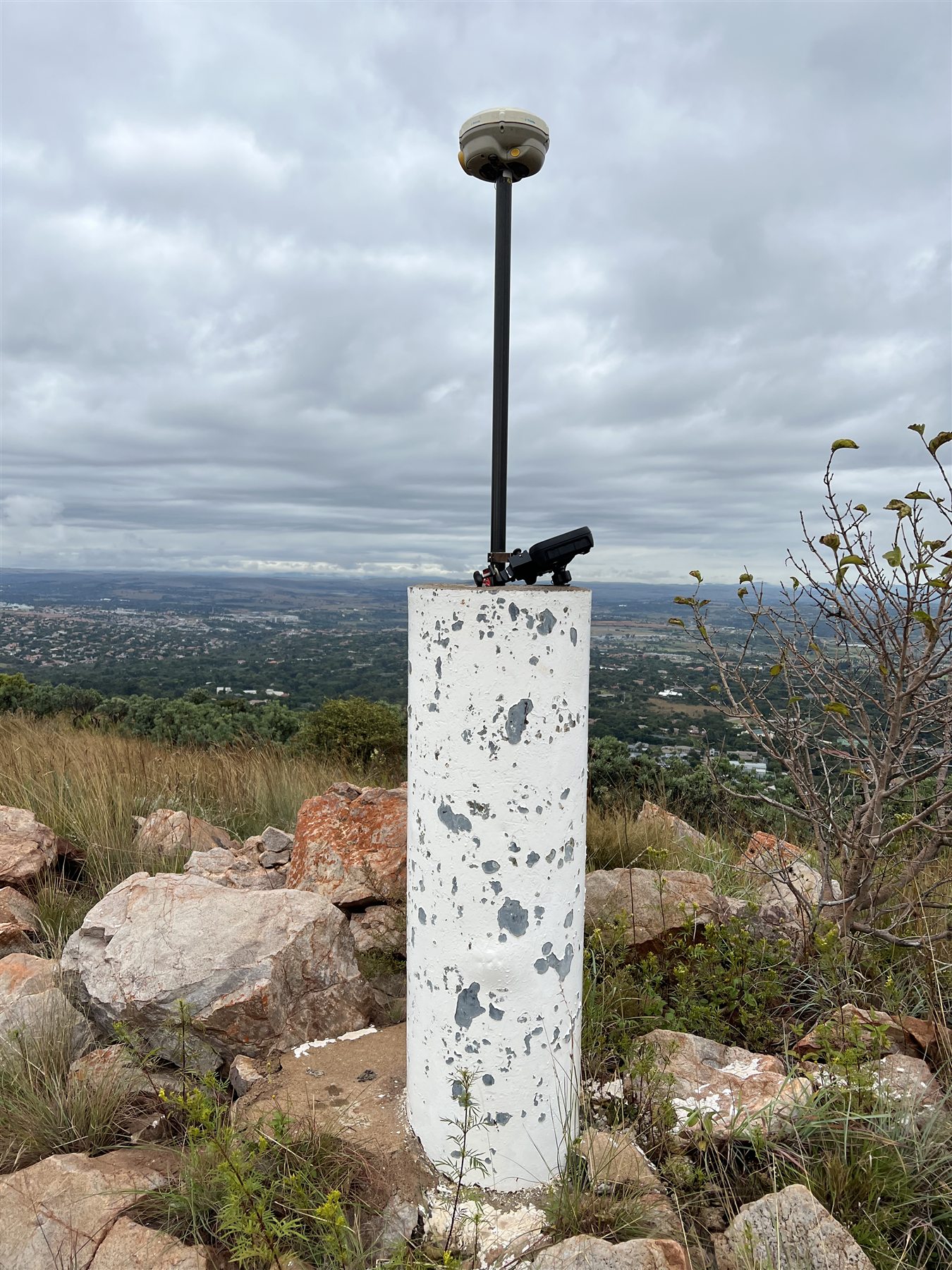
Across open and uneven terrain, reliable topographical work begins with control that can be occupied, checked and carried into the survey. The photographs show an established survey pillar, the field controller and GNSS observations used to tie the work to a repeatable reference.
Contours only mean something when the control beneath them is right.
SITE CONDITIONS
Rocky, elevated terrain
WORK SHOWN
GNSS control observations
PURPOSE
Repeatable site reference
FIELD RECORD // CONTROL POINTGNSS OBSERVATION // ELEVATED CONTROL