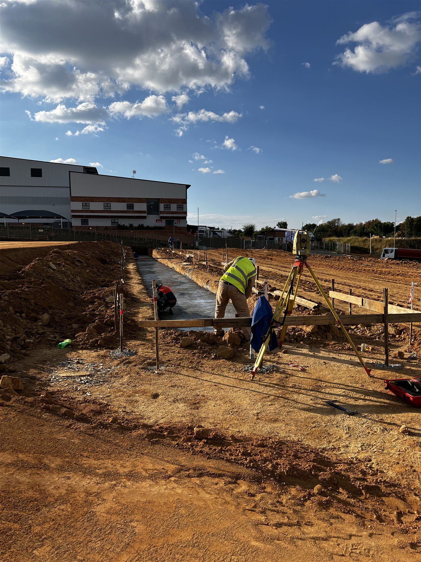
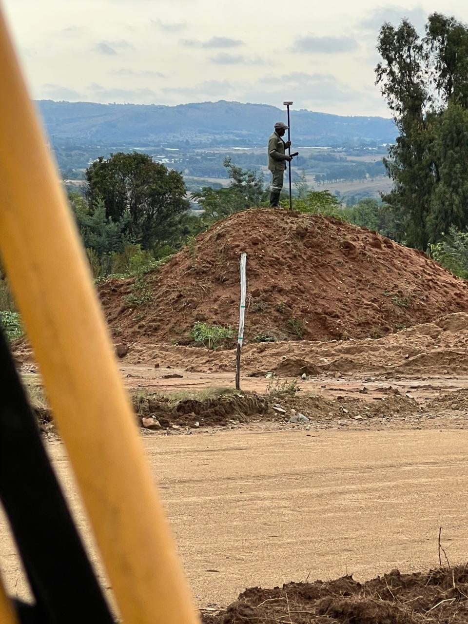
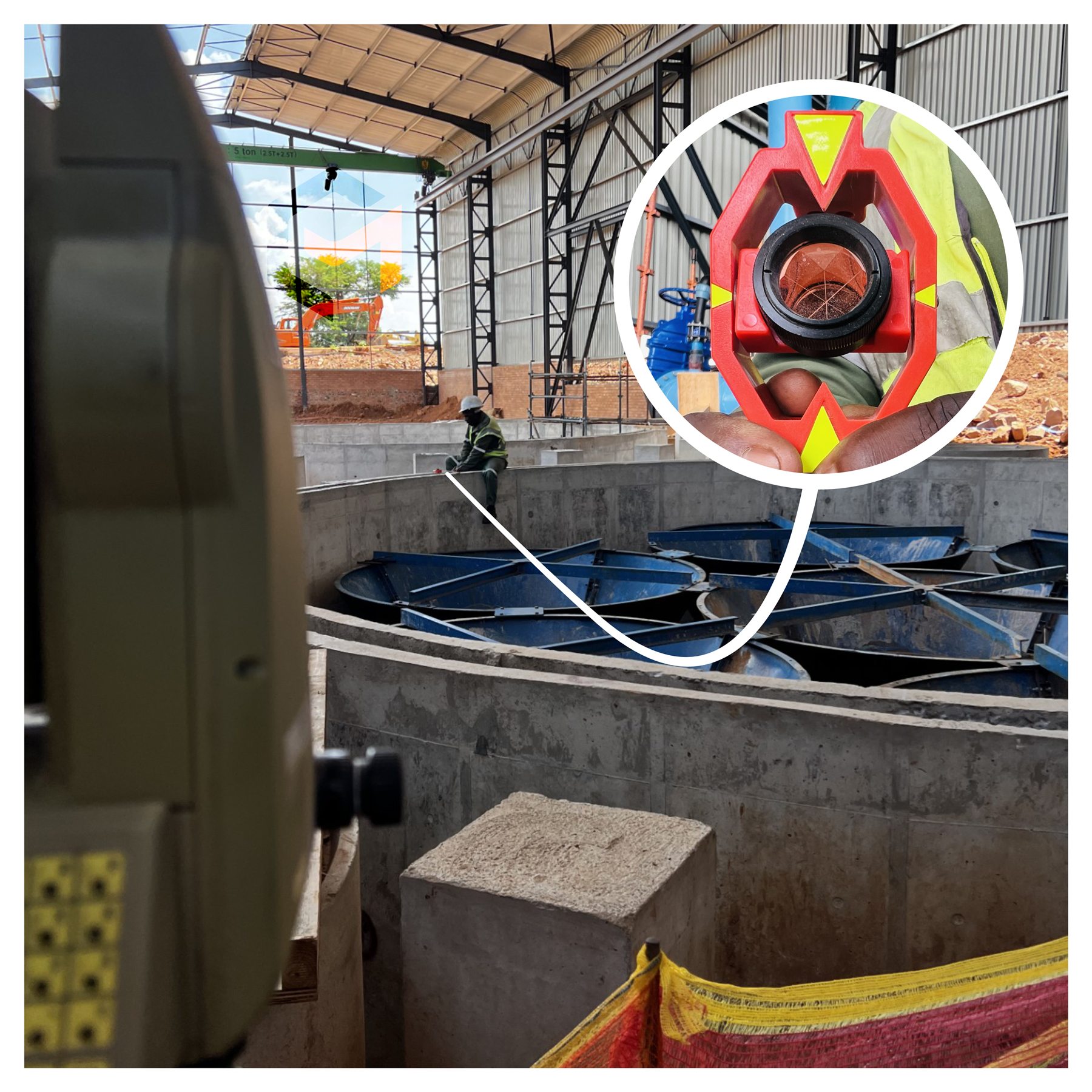
Limpopo work is arranged around the project rather than advertised as everyday local attendance. Good planning allows substantial fieldwork to be completed without wasting the client's time on avoidable trips.
A long road is not an excuse for a short check.
WHY THIS AREA
WHERE MINI CIVILS FITS
Large sites, rural settlements, agriculture and infrastructure often require field information that remains consistent across a wide area.
The programme must allow for travel, site access, control establishment, sufficient observations and a deliverable that can be used without the surveyor standing beside it to explain every line.
THE PROVINCE IN MOTION // LIMPOPO
THE ECONOMY IS SPREAD ACROSS ORE, ORCHARDS AND VILLAGES.
Limpopo's mining, agriculture, tourism and rural settlements operate across a large province where access and infrastructure can be as important as the site itself.
Provincial evidence, not a claim of instant attendance in every town.
01
AGRICULTURE / WATER
FRUIT PRODUCTION STARTS WITH LAND AND WATER.
Citrus, avocado, mango and vegetable production make agriculture a provincial strength. Levels, drainage, irrigation routes and access are practical production information, not decoration on a map.
Mining and quarrying remain central, but road, rail, water and energy constraints affect how sites and regional projects develop. The spatial framework treats access as an economic issue.
Village mapping and service-delivery planning need consistent information across a wide area. Sixteen rural villages cannot be treated as sixteen unrelated coordinate systems.
LONG BEFORE MODERN BORDERS, MAPUNGUBWE WAS ALREADY CONNECTED TO THE WORLD.
Between about AD 900 and 1300, Mapungubwe developed into Southern Africa’s first indigenous kingdom and its most important inland settlement. Its position near the Limpopo–Shashe confluence connected trade routes reaching the East African coast and onward to India and China; archaeologists found imported porcelain and glass beads alongside local gold and ivory. The landscape looks remote on a modern map. Historically, it was anything but isolated.
SIXTEEN RURAL VILLAGES. ONE SERVICE-DELIVERY QUESTION.
Mapping sixteen rural villages for a service-delivery project required consistent information across multiple communities rather than one isolated site. The detailed field story is being prepared for SiteSurveys.co.za, Mini Civils’ forthcoming project-evidence portfolio.
: Detailed field stories are being prepared for , the forthcoming Mini Civils project portfolio.
ANOTHER ONE OF MY DAD'S SAYINGS
“DON'T BE GREEDY. LET THE SUN SHINE ON EVERYONE.”
NOT EVERY JOB NEEDS TO BE OURS.
We take on work when the scope, programme and travel make sense. If someone in our network is closer, has more suitable equipment or specialises in exactly what the project needs, we will say so and help point the client in the right direction.
The right person. The right equipment. The right job. Zero BS.
SEND THE LOCATION. SEND THE QUESTION.
WE'LL TELL YOU IF IT MAKES SENSE.
Include the site location, what is being built or checked, the approximate site size, available drawings and the required timeframe.