PROPERTY IDENTITY
THE FARM NUMBER STILL MATTERS.
Modern street directions do not erase the underlying cadastral description. Matching the pin, portion and drawing is the first control check before anyone sets out a structure.
AREA 02B / MULDERSDRIFT WORKING CLUSTER
Rietfontein around Muldersdrift is still described through farm names, numbers and portions as often as conventional street addresses. Before any fieldwork begins, the correct property and the correct instruction need to agree.
The pin on WhatsApp is useful. The property description is better.
WHY THIS AREA
Rural and peri-urban sites are frequently identified by a farm description and portion number. That affects preparation: the client’s pin, available drawings and property information must refer to the same piece of ground before positions or levels are transferred on site.
The work offered here remains focused on construction set-out, topographical information and as-built verification. Where the question is the legal cadastral boundary itself, a registered land surveyor is the correct specialist and we can help point the client in that direction.
THE AREA IN MOTION // RIETFONTEIN 189 IQ
Rietfontein still speaks the language of farms and portions, but the ground around the R114, N14 and Beyers Naude corridor increasingly carries yards, truck businesses, equipment suppliers and development pressure.
The examples explain the land-use mix. They do not replace a property search or cadastral survey.PROPERTY IDENTITY
Modern street directions do not erase the underlying cadastral description. Matching the pin, portion and drawing is the first control check before anyone sets out a structure.
ROADS / ACCESS
The N14 and R114 place rural holdings beside regional movement routes. Access, traffic, drainage and road reserves can become part of a development question very quickly.
COMMERCIAL GROUND
Truck, plant and equipment businesses along the corridor show how the land-use mix has shifted. Larger hardstands, workshops and service yards bring their own level, drainage and as-built questions.
GROUND NOTE // RIETFONTEIN 189 IQ
Mogale City’s own records continue to identify local facilities by portions of the farm Rietfontein 189 IQ—the Muldersdrift community hall, for example, is recorded on Portion 318. That old cadastral language has survived into everyday directions because the landscape developed from surveyed farms and subdivisions rather than from one conventional town grid. Here, a farm number is not obscure paperwork. It is part of how the place still explains where it is.
THREE CORE ACTIVITIES
TYPICAL REQUESTS
BEFORE THE FIELD VISIT // RIETFONTEIN
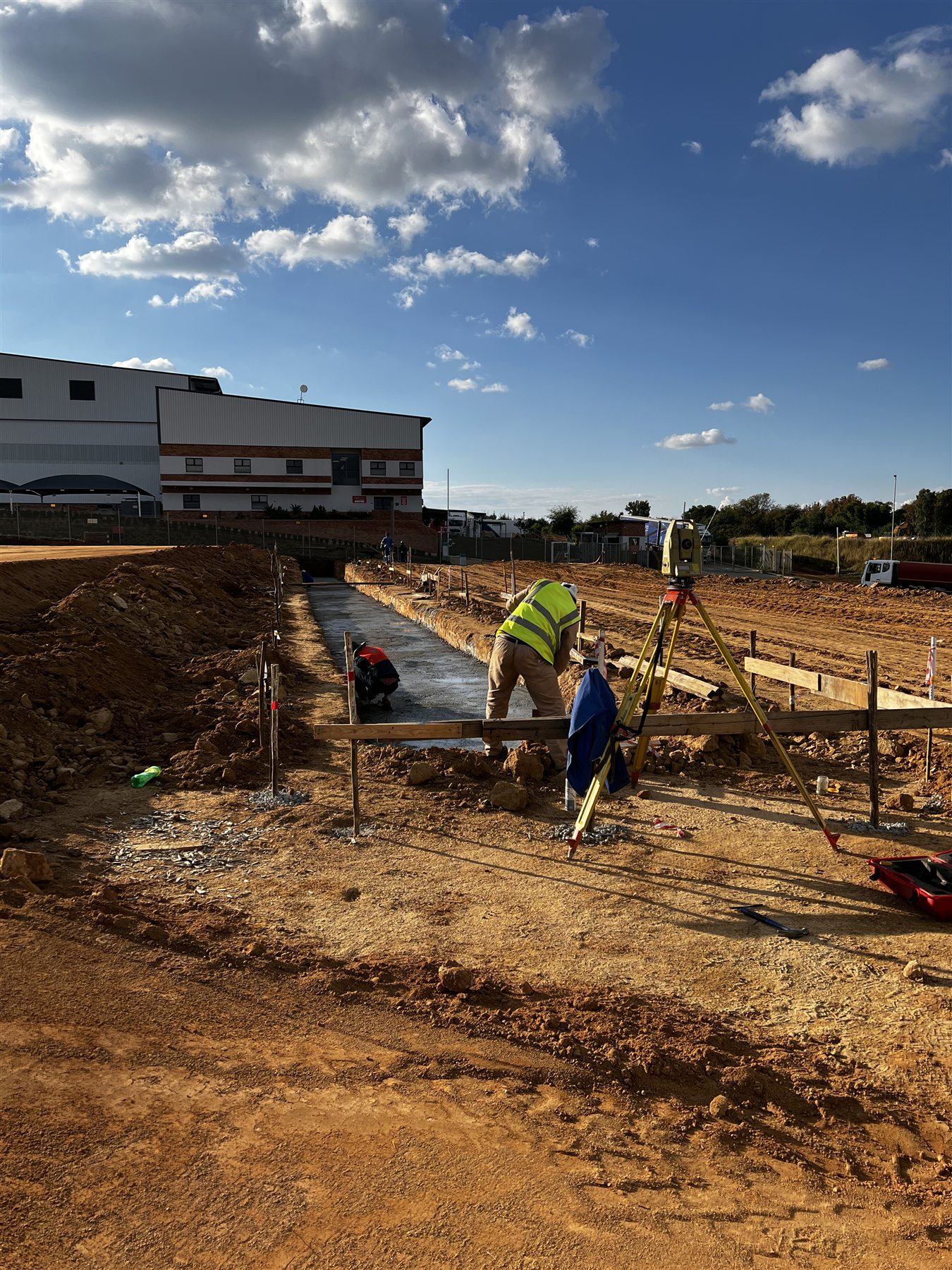
Two nearby gates can lead to two different legal properties. A useful brief includes the location, the current drawing and the available farm or portion description so the survey question is attached to the intended site before equipment is unpacked.
Detailed field stories are being prepared for , the forthcoming Mini Civils project portfolio.
ANOTHER ONE OF MY DAD'S SAYINGS
“DON'T BE GREEDY. LET THE SUN SHINE ON EVERYONE.”
We take on work when the scope, programme and travel make sense. If someone in our network is closer, has more suitable equipment or specialises in exactly what the project needs, we will say so and help point the client in the right direction.
The right person. The right equipment. The right job. Zero BS.
SEND THE LOCATION. SEND THE QUESTION.
Include the site location, what is being built or checked, the approximate site size, available drawings and the required timeframe.